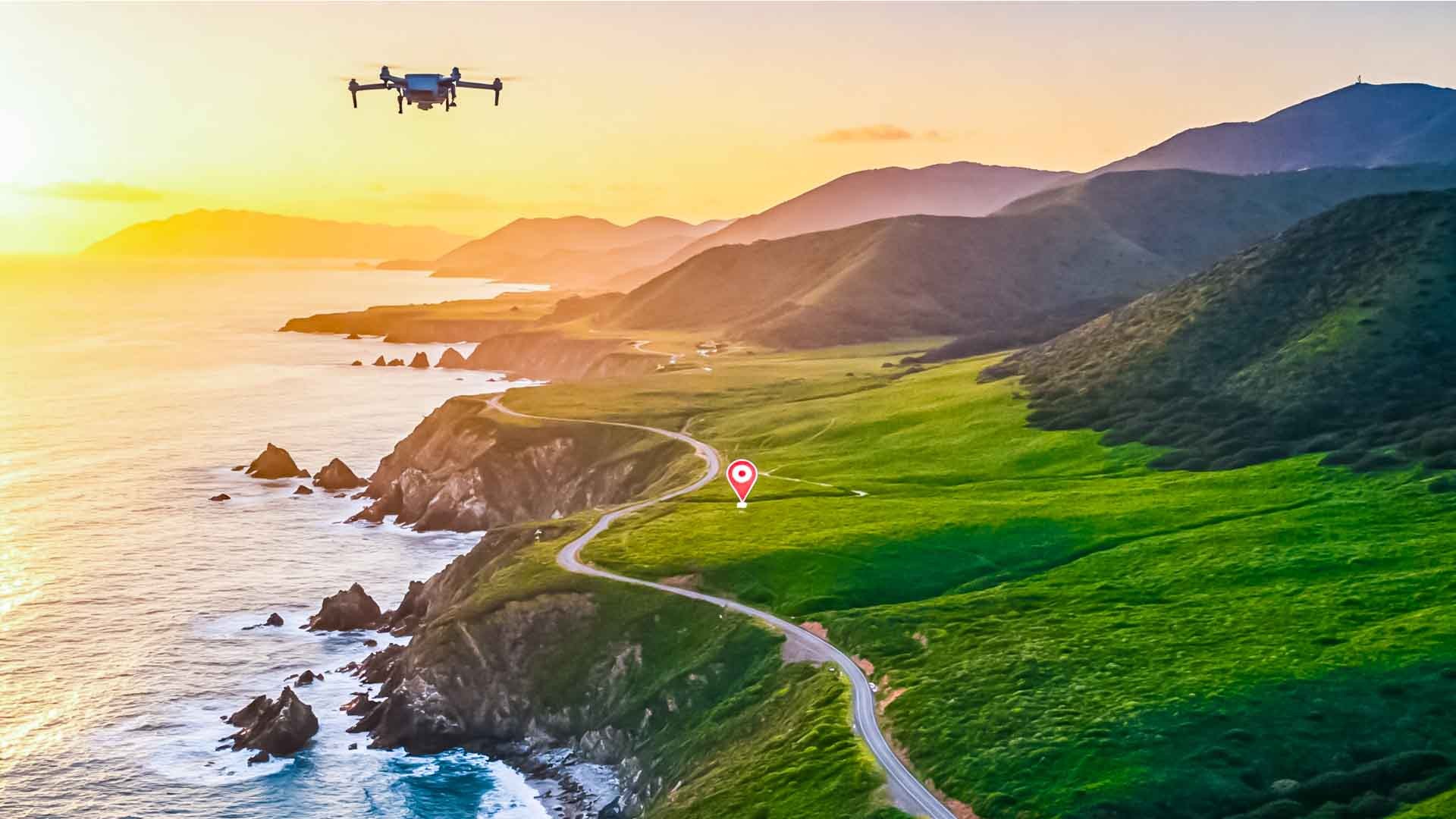
Nothing communicates a township's scale like an aerial frame — the tower against the skyline, the layout's green spine, the highway access that the brochure keeps promising. But drone photography in Hyderabad is regulated airspace work, and the projects that get smooth, legal, repeatable aerial coverage are the ones that plan it like the professional operation it is.
The regulatory picture, in plain English
Civil drone operations in India run under the Drone Rules through the DGCA's Digital Sky framework. The country's airspace is mapped into green, yellow and red zones: green permits routine operation within standard limits, yellow requires prior permission, and red is off-limits without exceptional clearance. Every flight plan starts with checking the current airspace map for the exact site — and in a city with an international airport, military establishments and VIP movements, Hyderabad has meaningful yellow and red geography. Zone status is location-specific and can change, so the check happens per shoot, not per year.
What this means for your project
Practically: a gated community deep in a green zone can often be flown with standard compliance — registered equipment, certified operation, normal altitude limits. A site near the airport corridor or another sensitive zone needs lead time for permissions, or a plan B built around elevated ground photography — terrace vantage points, crane-assisted rigs and neighbouring-tower angles can replicate much of the aerial feel when flying isn't possible. The key is knowing which situation you're in before the launch date is printed on the campaign calendar.
Where aerial coverage earns its cost
- Masterplan storytelling — one orbit explains a 40-acre layout better than any map graphic.
- Location truth — the ORR ramp, the metro line, the lake behind the project: aerials prove proximity claims.
- Construction-progress documentation — monthly fixed-route flights build a time-lapse that reassures buyers and lenders alike, and doubles as engineering documentation.
- Launch films — the sunrise push-in over the clubhouse remains real-estate marketing's most reliable opening shot.
Planning a compliant shoot
Give your production team the site coordinates early so airspace can be verified. Schedule around light — first and last hours of the day flatter both architecture and landscaping. Have site access, security notifications and resident communication sorted the day before; nothing burns flight time like a locked terrace. And insist on operators who can show their compliance paperwork — the marketer commissioning the flight has skin in that game too.
Aerial imagery is the most persuasive asset in a project marketer's kit, and Hyderabad's skyline gets more photogenic every quarter. Fly it properly, and it pays for itself in a single campaign.